Kanto gives Tokyo room to spread.
Tokyo occupies the eastern side of Japan's broad Kanto Plain. Plateaus and lowlands create subtle changes in elevation that are easy to miss at street level but fundamental to the city's shape.

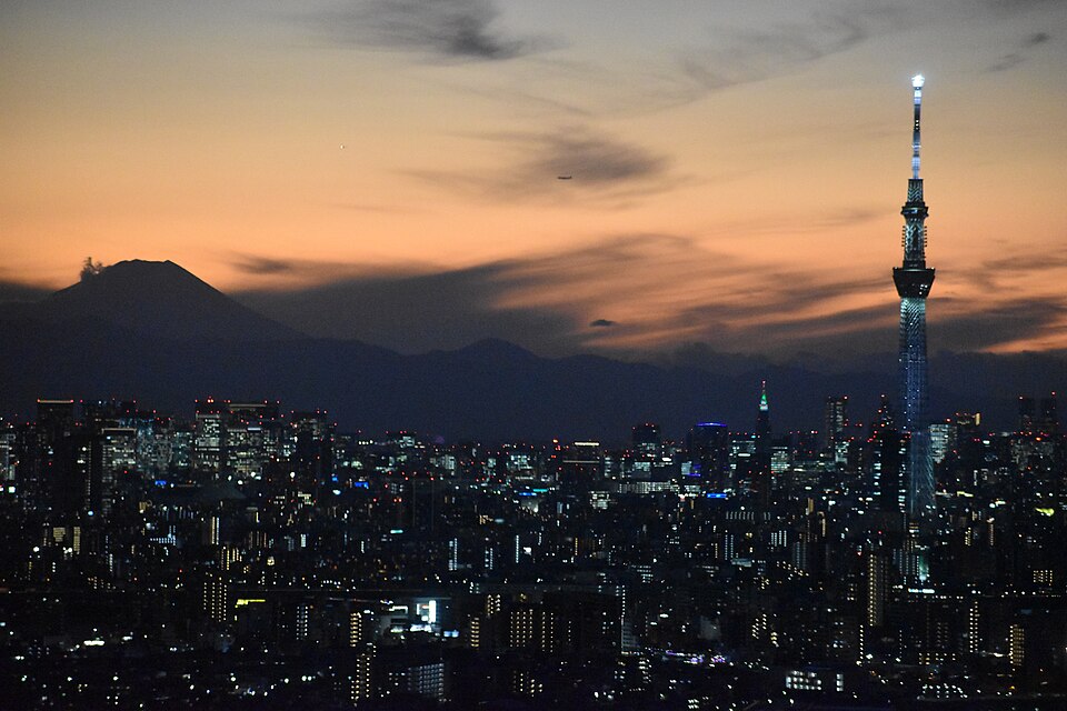
Japan · Kanto Region
A metropolis shaped by geography.
Tokyo is often described through its size. Look closer and a different city appears — one shaped by the Kanto Plain, rivers, Tokyo Bay and a network of distinct urban centres.
01 · READ THE CITY
Tokyo sits on the Kanto Plain and faces Tokyo Bay. Across the wider metropolis, terrain changes from western mountains to central hills and eastern plateaus and lowlands. Rivers cross that landscape on their way to the bay.
That physical setting helps explain why Tokyo is not one single centre. Historic districts, station hubs, waterfront districts and reclaimed islands form a connected urban system rather than a simple ring around one downtown.
02 · GEOGRAPHY
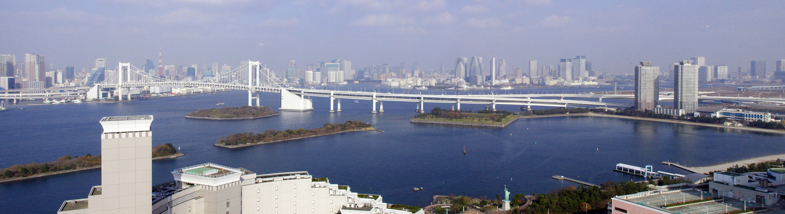
Tokyo occupies the eastern side of Japan's broad Kanto Plain. Plateaus and lowlands create subtle changes in elevation that are easy to miss at street level but fundamental to the city's shape.
The Arakawa, Tama and other rivers drain toward Tokyo Bay, while the Sumida cuts through older eastern districts. Bridges, embankments and waterfront routes reveal a city built around water as much as rail.
Reclamation has repeatedly extended Tokyo's waterfront. Odaiba is the clearest visitor-facing example: an area whose origins lie in nineteenth-century fortifications and whose modern form occupies reclaimed land.
03 · TWO TOKYOS
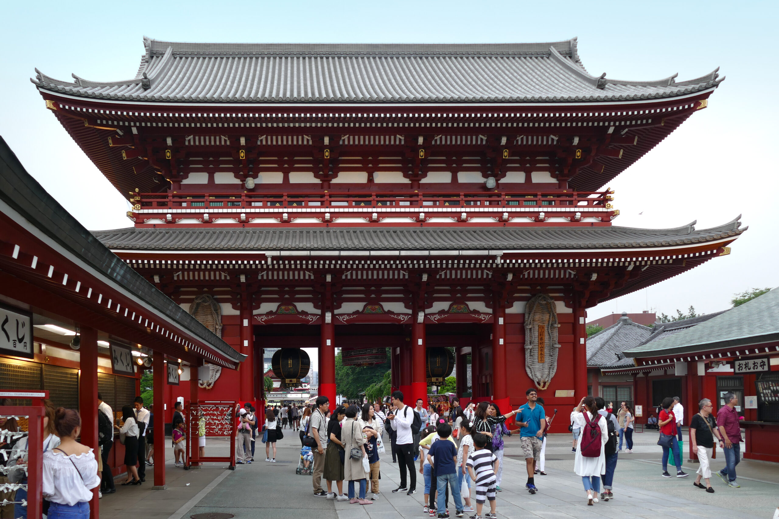
Around Sensō-ji and the Sumida River, Tokyo's older urban memory remains unusually legible: temple approaches, compact streets, river access and a district pattern that predates the modern skyline.
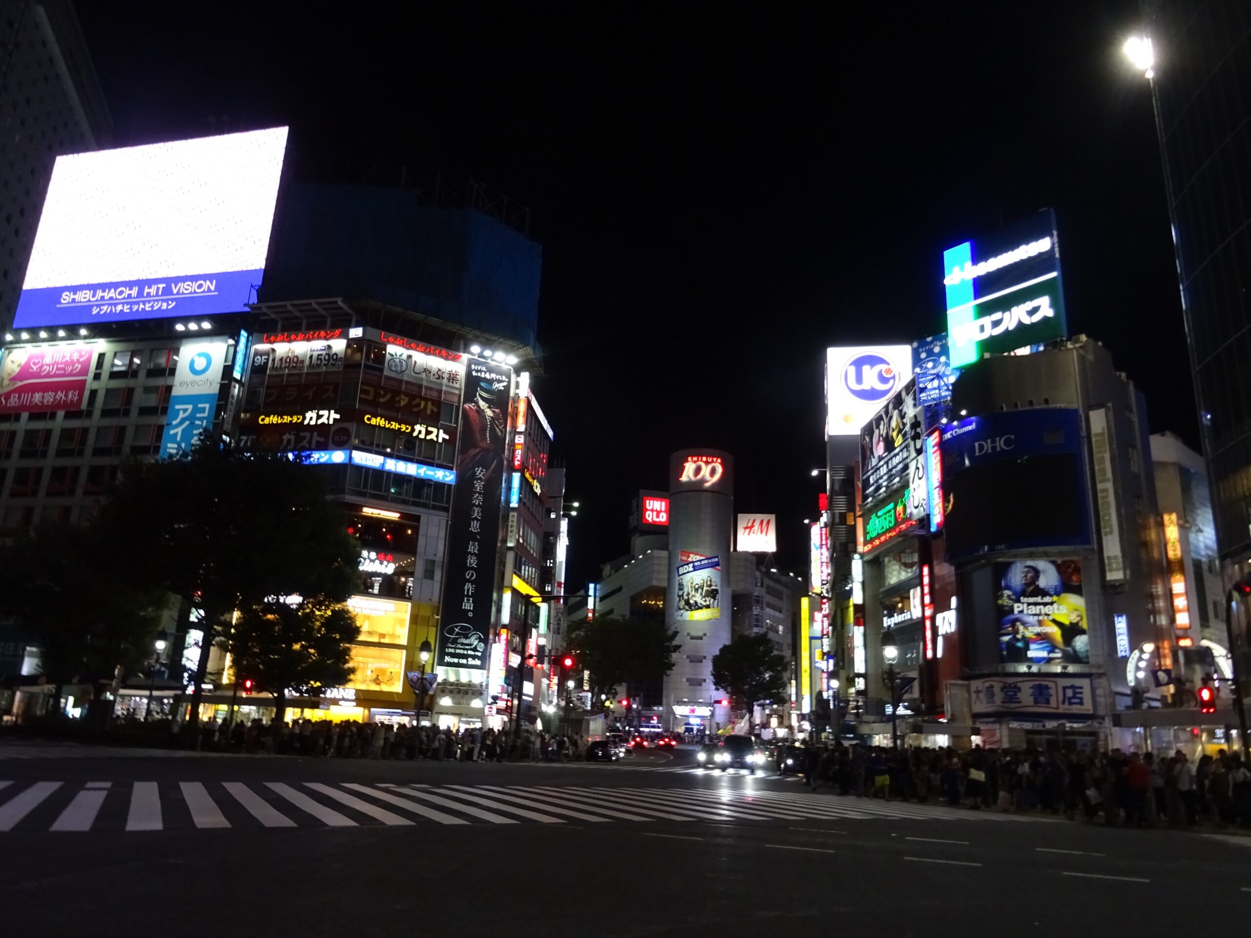
Shibuya represents Tokyo's station-centred modernity: intense pedestrian movement, layered rail connections and commercial streets packed around one of the city's most recognizable transport hubs.
04 · SEASONS
Mild weather and flowering season make this one of the city's most visually distinctive periods.
Warm to hot conditions become increasingly humid, with an early-summer rainy period.
Heat gradually breaks, skies often clear, and later autumn brings color to parks and gardens.
Cooler, generally drier conditions create crisp city views and frequent visibility toward distant mountains.
05 · MOVING THROUGH TOKYO
Tokyo becomes easier when Shinjuku, Shibuya, Tokyo, Ueno and other hubs are treated as anchors rather than stops on one giant itinerary.
Pair nearby districts instead of crossing the metropolis repeatedly. The map matters as much as the attraction list.
The Sumida and Tokyo Bay reveal connections between Asakusa, older river districts and the reclaimed waterfront that rail maps tend to hide.
The city's size can make a checklist exhausting. Tokyo is often clearer when one station area is allowed to become the destination for a few hours.
06 · USEFUL DETAILS
Haneda sits much closer to central Tokyo; Narita is farther east in Chiba Prefecture. Check the airport before planning the first and last day.
Start with the major hub nearest your destination, then solve the final segment. Trying to memorize the entire system is unnecessary.
Its reclaimed setting makes it one of the easiest places to see how Tokyo has physically pushed its urban edge into the bay.
Eastern Tokyo often preserves stronger ties to the old river city; western hubs show more of the rail-driven metropolitan expansion.
Efficient rail can make far-apart districts feel close, while a short transfer inside a huge station may take longer than expected.
A waterfront viewpoint can make Tokyo's scale easier to grasp: city, bridge, reclaimed land, rivers and distant mountains become part of one scene.
Photo credits: Tokyo skyline — Fred Cherrygarden, Wikimedia Commons, CC BY-SA 4.0 · Tokyo Bay — Javachan, Wikimedia Commons, CC BY-SA 3.0 · Sensō-ji — Bernard Spragg. NZ, Wikimedia Commons, Public Domain · Shibuya Crossing — Christophe95, Wikimedia Commons, CC BY-SA 4.0.
KEEP EXPLORING
Start with geography, choose one part of the metropolis, then let the rail lines, rivers and bay reveal how the pieces connect.
Explore more destinations →