Pacific Ocean
Between Asia and Australia on one side and the Americas on the other.
SEEKGLOBE ATLAS · WATER
The five major ocean basins are the Pacific, Atlantic, Indian, Southern and Arctic. Together they form one connected global ocean covering about 71% of Earth, while travel usually meets that ocean at its edges: beaches, bays, cliffs, harbours, islands and river mouths.
QUICK ANSWER · FIVE OCEAN BASINS
There are five major ocean basins: the Pacific, Atlantic, Indian, Southern and Arctic. They are geographic divisions of one connected global ocean, not separate bodies of water divided by physical walls.
The Pacific is the largest and deepest. The Arctic is the smallest. Together, the five basins connect every coastline shown across the SeekGlobe atlas.
Between Asia and Australia on one side and the Americas on the other.
Between the Americas and Europe and Africa.
Between Africa, Asia, Australia and the waters north of the Southern Ocean.
Encircling Antarctica and connecting the southern reaches of the other major basins.
Around the North Pole, bordered mainly by North America, Europe and Asia.
01 · THE WORLD OCEAN
An ocean basin is a major depression in Earth’s surface occupied by ocean water. Geographers divide the connected global ocean into five named ocean basins, but their boundaries are useful conventions rather than physical walls.
The Pacific, Atlantic, Indian, Southern and Arctic are the five named ocean basins used on this page. Currents, climate and marine ecosystems move across those names, connecting them into one planetary ocean.
02 · FIVE NAMED BASINS
NOAA's major-ocean figures make the contrast immediate: the Pacific is by far the largest ocean basin, while the Arctic is the smallest of the five named basins.
03 · WHERE TRAVEL MEETS WATER
The edge between land and ocean changes completely with geology, waves, rivers, climate and settlement. SeekGlobe uses coastlines to connect geography with destinations rather than treating every beach as the same experience.
Where rock rises abruptly from tropical water, access and settlement can be shaped by the coast itself.
Example · Railay, ThailandHeadlands can create smaller, calmer coastal spaces with a very different sense of scale from an open shoreline.
Example · Cala Macarella, MenorcaSome coasts are inseparable from the city: beaches, mountains, streets and dense neighbourhoods meet the same water.
Example · Rio de Janeiro & SydneyFlat coastal plains can link river systems, farmland, towns and open sea within only a few kilometres.
Example · Hội An & An Bàng04 · COASTAL DESTINATIONS
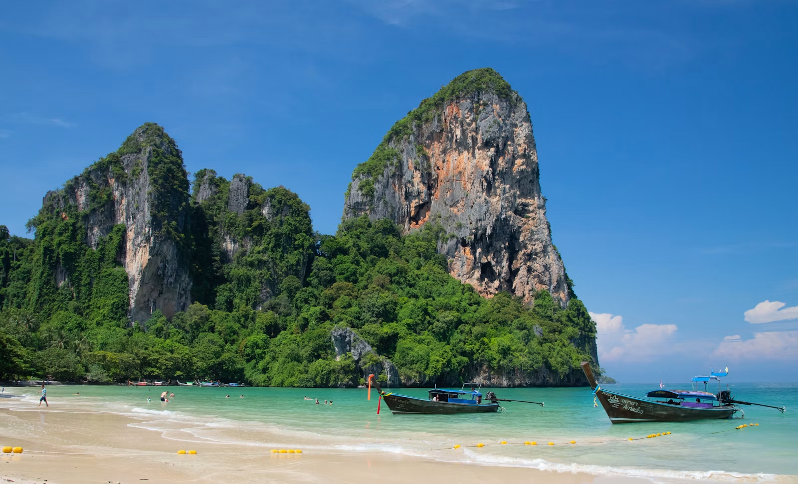
Limestone walls make the coastline the reason the place is reached by boat.
Open guide →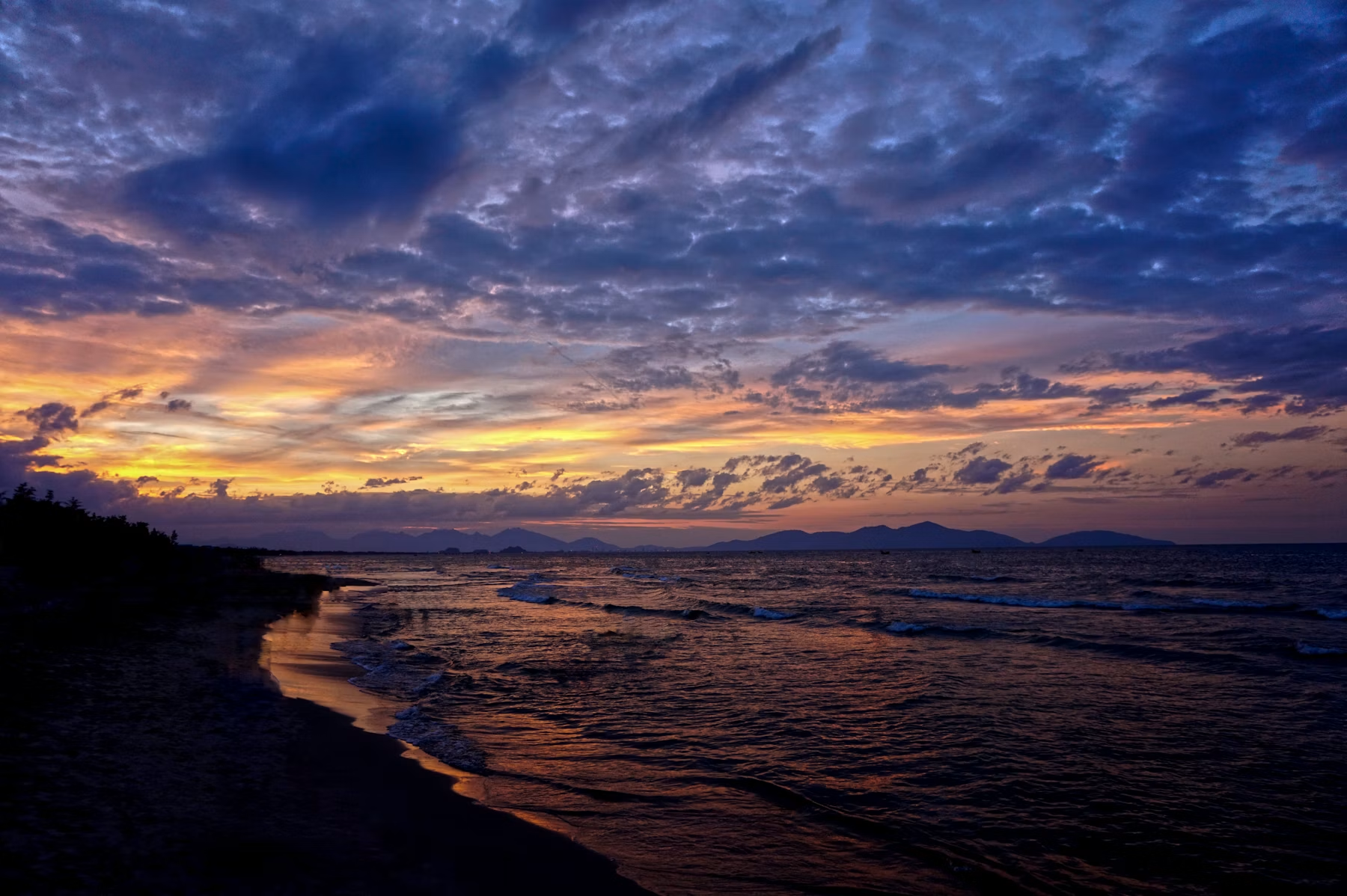
A low, open coast only a short ride from the Thu Bồn River and Hội An's historic streets.
Open guide →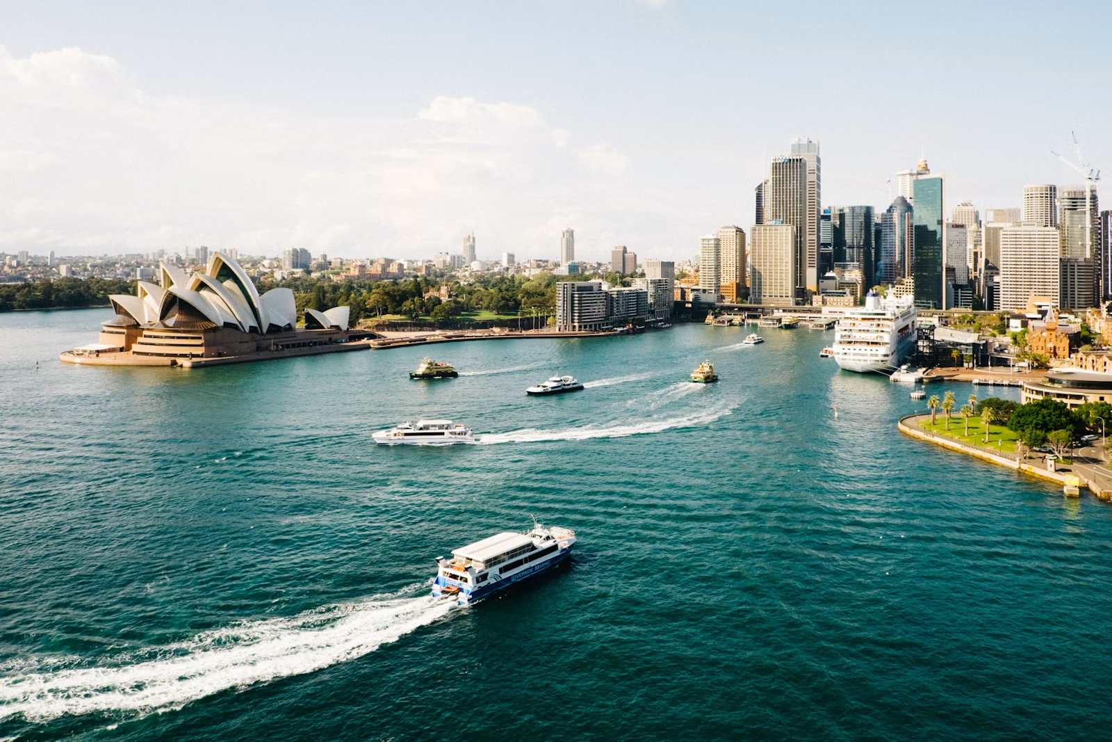
A harbour city where ocean geography shapes neighbourhoods, transport and daily life.
Open guide →A compact Menorcan cove framed by limestone and pine forest.
Open guide → BRAZIL · SOUTH ATLANTICUrban beaches, granite mountains and Atlantic water compressed into one extraordinary cityscape.
Open guide → VIETNAM · RIVER TO COASTFollow one compact landscape from trading-port streets through countryside to the sea.
Open guide → TANZANIA · INDIAN OCEANAn island coastline shaped by Swahili history, reefs, beaches and the western Indian Ocean.
Open guide → SOUTH AFRICA · ATLANTIC EDGEMountain, city and ocean meet at the continent’s southwestern edge.
Open guide →05 · READ A COASTLINE
Sand, coral, limestone, volcanic rock and sediment produce fundamentally different shorelines.
An open-ocean beach receives water differently from a protected harbour, cove or bay.
Mountains, cities, wetlands, farmland and cliffs determine what kind of destination exists at the water's edge.
A local beach connects outward to a sea or directly to one of the major ocean basins, and ultimately to the same connected global ocean.
06 · THE BIG IDEA
NOAA's simplest explanation is also the most useful: there is only one global ocean. The five ocean basins help us locate and compare regions, but water moves across those geographic labels. For SeekGlobe, that makes oceans a bridge between the planetary view and individual places.
Start with a beach. Zoom out to its coast. Then its sea or ocean basin. On the globe, the oceans connect those local places into one planetary system covering most of Earth.
07 · OCEANS FAQ
The five major ocean basins are the Pacific, Atlantic, Indian, Southern and Arctic. They are geographic divisions of one connected global ocean.
Five major ocean basins are commonly recognized: Pacific, Atlantic, Indian, Southern and Arctic. Together they form one connected global ocean.
The Pacific lies between Asia and Australia and the Americas; the Atlantic between the Americas and Europe and Africa; the Indian between Africa, Asia and Australia; the Southern around Antarctica; and the Arctic around the North Pole.
An ocean basin is a large depression in Earth’s crust that contains ocean water. The connected global ocean is commonly divided into five major ocean basins: Pacific, Atlantic, Indian, Southern and Arctic.
An ocean basin is a large depression in Earth’s crust occupied by ocean water. A drainage basin, also called a watershed or catchment, is an area of land where rain, streams and rivers drain toward the same outlet, such as a river, lake, sea or ocean. A drainage basin can therefore feed water into an ocean basin, but the two terms describe different geographic features.
There is one connected global ocean. It is commonly divided geographically into five named ocean basins: Pacific, Atlantic, Indian, Southern and Arctic.
The Pacific is the largest ocean basin and also the deepest. NOAA places its area at roughly 166 million square kilometres.
The Arctic Ocean is the smallest of the five named basins, at roughly 12.2 million square kilometres in NOAA's major-ocean figures.
Ocean boundaries have changed through history and are conventions. The United States recognizes the Southern Ocean extending from Antarctica to 60° south latitude, while international agreement over boundaries has evolved over time.
Seas are generally smaller regions of salt water associated with ocean basins and often partly enclosed by land. Names and boundaries reflect geography as well as historical convention.
OFFICIAL REFERENCES
KEEP EXPLORING
Switch from Earth's connected water to its major continental regions.
Open atlas → COLLECTION · COASTMove from planetary geography to individual coastal experiences.
Explore beaches → DISCOVER · TIMELeave today's map and move backward through the history of the planet.
Explore time →